One of the most common questions we get asked is where someone can go riding out of any of our capital cities. Unfortunately my expertise in where to ride doesn’t really stretch further than NSW so here’s our Sydney day trip.
I lived in Melbourne for two years and rode almost every week so I have some local Mexican knowledge that’s where it stops. I’ve ridden in every state of Australia but simply following a lead rider from corner to corner in those foreign states doesn’t give me a good gauge on where I’m going.
But just two months ago we got an email from a budding adventure rider named Tim Cocks asking about riding areas out of Sydney for a Sydney day trip.
“I’m a new adventure bike rider on a BMW G310 GS” Tim said.
“I’m really keen to practice my skills, but am finding it hard to find a decent trail to ride on ideally a loop from Sydney. Do you have any recommendations of a good day-ride, mainly off-road, from Sydney, so that I can practice my dirt/adventure skills?”
Tim’s email got me thinking of my favourite loops out of Sydney and where they are and what would be best for a Sydney day trip.
FISHING SPOT
Riding spots are like fishing spots, no one wants to reveal the actual location of where a riding spot is for fear of it being overused. I agree with this logic for singletrack or more remote trails but for most adventure riding, the trails are formed roads and track and can be found using a GPS anyway so I’m okay making them public knowledge.
The roads I’m about to recommend can be driven on using a four-wheel-drive and found using google maps but they still accommodate and epic adventure ride. You can do this loop in a day or take a more leisurely time and do it over a weekend. I’ve done this entire loop in one day with no night riding and I’ve also spent two days getting them done.
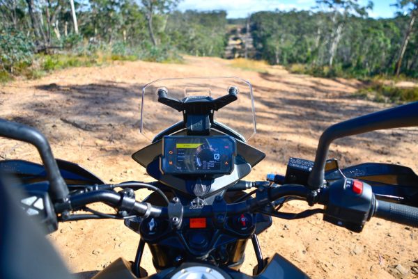
GO WEST!
In my opinion, the best adventure ride out of Sydney for one to two days is out to Hill End and back. If you’re living in the Sydney basin head out towards the Blue Mountains via one of the major motorways. I like to take Bells Line of Rd out of Richmond towards Lithgow. Follow your nose and be careful for those sneaky highway patrol cars before pulling off at the ZigZag Railway, about 10 minutes before Lithgow.
This is where you leave the bitumen and jump on the dirt. Follow the windy dirt road of Old Bells Line of Rd with a keen eye for logging and sand trucks – they don’t go slow and they don’t slow down. Old Bells Line of Rd will turn into Glow Worm Tunnel Rd (veer right onto it) before turning back into Old Bells Line of Rd.
You can take the Glow Worm Tunnel Rd all the way out to the Glow Worm Tunnel which passes through the mountain, just make sure you have a working headlight, it’s very dark in there! If you go to check out the tunnel you’ll need to turn back to get back on the main trail.
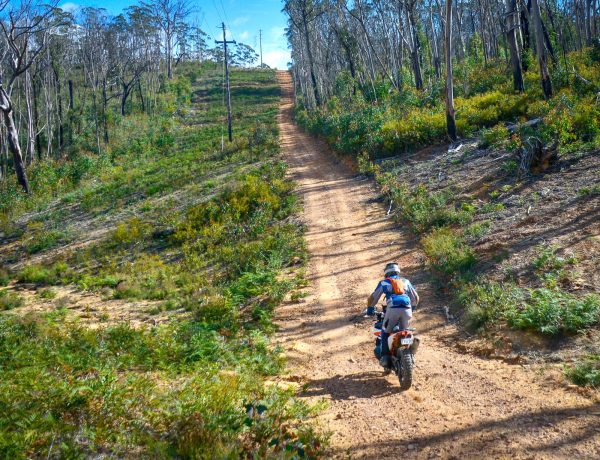
Old Bells Line of Rd turns into Beecroft Firetrail briefly before turning into Black Fellows Hand Trail. This is another awesome bit of dirt road with plenty of aboriginal artwork and historical sites to stop off and look at along the way. Black Fellows Hand Trail eventually turns into Wolgan Rd and you have two options here. Either hop on the Bicentennial National Trail and take a few of the unnamed roads west until you hit Castlereagh Highway, or you can go left down Wolgan Rd and out through the towns of Lidsadale and Cullen Bullen and onto the Castlereagh Highway.
The next spot you want to get to is the Turon Gates Mountain Eco Retreat on the Turon River so plug that into your GPS once you’re on the Castlereagh Highway. It will probably take you through the town of Capertree before pulling a hard left onto Turon Gates Rd. Jump on that road and stay on it.
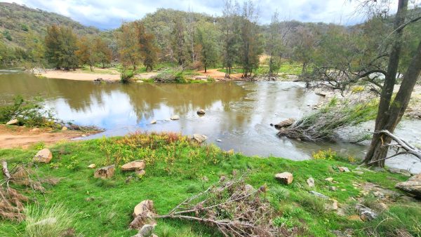
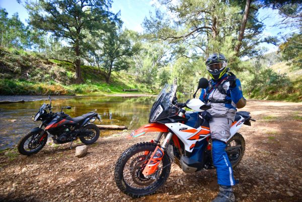
Turon Gates Rd is epic, it follows the Turon River where the riding is all off-road and four-wheel drive track with loads of wildlife. Just be careful of the livestock. Turon Gates Rd eventually turns into Palmers Oakley Rd. This road continues to follow the Turon River and crosses it numerous times until you reach the Upper Turon.
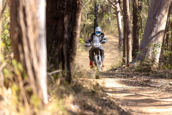
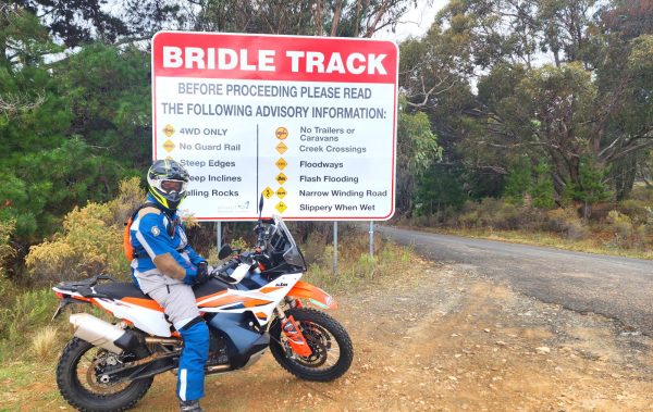
Jump on the Upper Turon Rd and follow it all the way into a town called Sofala. From Sofala you want to head for Hill End, an old gold mining town that is now protected within a National Park. You can take the black top to shave some time (it’s about 36km) or you can find some dirt. Either way, my recommendation is to take the Bridle Track out of Hill End, not into it.
Once you reach Hill End, you’ve got to stop at the Royal Hotel for a feed. The grub and beer there is exquisite. The town of Hill End is worth a few photos too with plenty of history.
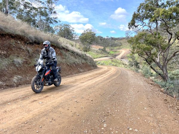
Once you’ve refilled your body and bike head south out of town to the Bridle Track. This piece of road used to be famous with adventure riders only after a massive boulder was dislodged above it and came crashing down in the middle of the road which meant only bikes could get through! Unfortunately they’ve redone the road so you could fit a bus through it now but the ride is still epic.
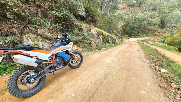
Make sure you stay on the Bridle Track as it follows the Macquarie River all the way to the intersection of Duramana Rd and Turrondale Rd. Don’t underestimate how long this bit of road can take, if it’s busy with tourists or the river is up, it can take hours. When you reach that intersection it will turn back to bitumen. This will leave you just north of Bathurst.
Depending on how much time you have you can skirt around the outskirts of Bathurst towards Blayney and take some dirt roads, or you can head east out of Bathurst towards Lithgow and take the Sunny Corner exit for even more dirt excursions. Once you get back to Lithgow you’re pretty much done when it comes to wild dirt roads back to Sydney.
A ride like this can be done in a day but it’s worth adding in some lookouts and staying a night somewhere. Always be mindful of trucks on the dirt roads and four-wheel-drives, this is a popular tourist area. Once you’ve dialled in this loop there are plenty more west of Sydney but they start to become fishing spots and we all know what local fisherman are like!
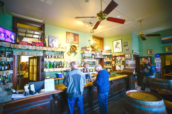
THERE’S GOLD IN THEM HILLS!
Hill End is a former gold mining town located in the Bathurst Regional area. What is now known as Hill End was originally a part of the Tambaroora area: Tambaroora town was a few kilometres to the north of present-day Hill End. In the 1850s the Hill End area was known as Bald Hills.
In 1860 a village was proclaimed, first as Forbes, then in 1862 it was altered to Hill End. Tambaroora had been the larger centre; in 1865, it had seven public houses to Hill End’s two. Following the discovery of rich gold reefs at Hawkins Hill (Hill End), in the early 1870s, Hill End overtook Tambaroora as the main town in the area.
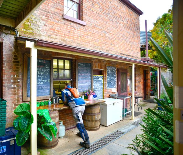
Hill End owes its existence to the New South Wales gold rush of the 1850s, and at its peak in the early 1870s it had a population of an estimated 8,000 people. It had two newspapers, five banks, eight churches and twenty-eight pubs, yep, you read that right!
The town’s decline when the gold gave out was drastic. By 1945 the population was 700. At the 2006 census, Hill End had a population of 166, and by 2017 it had dropped to 80 people.
BY THE NUMBERS
Total Kilometres for a return trip from Sydney CBD: 604km
Difficulty: Beginner to Intermediate
Fuel Stops: 2
Overnight stops: 1
Reception: Fair to good
Road closures: Medium to high chance
QUICK LOOK
Sydney to Zig Zag Railway
Zig Zag Railway to Glow Worm Tunnel
Glow Worm Tunnel to Black Fellows Hand Trail
Black Fellows Hand Trail to Turon Gates Rd
Turon Gates Rd to Palmers Oakey Rd
Palmers Oakey Rd to Sofala
Sofala to Hill End
Hill End to Bridle Track
Bridle Track to Bathurst
Bathurst to Sydney
